
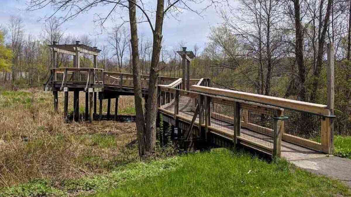
This nature trail is perfect for observing Thomas Creek’s flow toward Irondequoit Creek. The wetland offers two paths—gravel and a boardwalk—leading to a seasonal viewing platform and connecting with the Erie Canalway Trail.
At the beginning of the path, interact with an analemmatic sundial, constructed with stones from Newark’s 1849 Enlarged Erie Canal Lock 58, by observing your shadow’s position. The plaque reads, “Stand on the current month, press your palms together and raise them high in the air. Note where your shadow crosses the hour markers: standard time above, daylight saving below.” The sundial was designed and built by local artist Vanessa Sheldon, who used stones from nearby Lock 58.

Boardwalk
I discovered Thomas Creek Wetland Walk when looking at a satellite view of the area on Google Maps. You’ll find a small parking lot at the end of Liftbridge Lane East. You can also park in municipal lots around the canal, tying this short trail into a more extensive canal experience.


Seasonal Viewing Platform
As implied, the platform, connected to the boardwalk portion of the trail, is closed during the colder months.

Wetland
Thomas Creek flows quietly through Perinton on its way to Irondequoit Creek near East Rochester. The wetland walk is a perfect spot to observe nature quietly.

More information about Thomas Creek Wetlands Walk
Cost: Free
Located in Fairport, 25 minutes / 15 miles from Rochester (get directions)
Have you explored Thomas Creek Wetland Walk?
I’d love to hear from you—please reach out and share your thoughts and experiences.


Help Support My Work
If my work has helped you explore and appreciate the Rochester area, please consider subscribing to Substack as a paid member. You’ll receive an email whenever I publish new content and can connect with a growing community of local explorers.
See you out there!
Debi
Enjoy the Journey Together!


That’s a sundial. There is an engraved stone with directions on how to use it.
What do the rocks with numbers mean and the months