

Braddock Bay sits along Lake Ontario’s southern shore, just west of Rochester. Marshes, ponds, woodland trails, and open water offer several places to walk and watch wildlife, from the boardwalk at Braddock Bay Park to the path beside the marina.
The area is best known for birding, especially during spring and fall migration, when hawks, eagles, waterfowl, and songbirds travel along the lakeshore. Braddock Bay Raptor Research monitors the spring migration of birds of prey from the park’s hawk-watch platform. You don’t need to be an experienced birder to spend some time watching, though binoculars will help you see more.
You can visit for a short walk or spend a few hours exploring different parts of the bay. The Marina Trail is my favorite, but the surrounding ponds and preserves give me plenty of reasons to keep exploring.
The Braddock Bay Complex
The Braddock Bay Wildlife Management Area extends beyond the bay itself. Its five shoreline units include Buck Pond, Long Pond, Cranberry Pond, Braddock Bay, and Rose Marsh. Nearby town parkland and nature preserves offer additional trails and places to watch wildlife. There are several separate access points, so use a map to plan which areas you’d like to explore.
If you’re planning a few walks, the Town of Greece trail map is a helpful reference. You’ll also find several local routes in the Hit the Trail Passport.
Braddock Bay Park


Braddock Bay Park is a good place to begin, especially if this is your first visit. Officially named Donald J. Riley Park at Braddock Bay, the town-operated park at 199 East Manitou Road has a boardwalk to the bay, an observation platform, hiking trails, a playground, and picnic shelters.
In spring, stop at the hawk-watch platform to look for migrating birds of prey. Braddock Bay Raptor Research’s Spring Hawk Count tracks the migration as hawks, eagles, falcons, and vultures pass through the area. What you see will vary from day to day.
Follow the boardwalk toward the bay for a closer look at the wetland. Give yourself time to watch the reeds and open water; there may be more to see than you notice at first.
Learn more about the park and its amenities on the Town of Greece website.

The Marina Trail
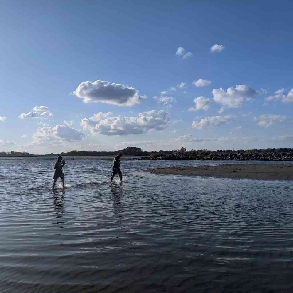


The Braddock Bay Marina Trail is my favorite trail in Monroe County. Strong words, I know, but I measure “favorite” by the places I’m drawn back to time and again.
Depending on the time of year, you may find duck hunters, wildlife photographers, or families helping their children identify birds and learn about conservation. It feels quite different from a typical park or woodland trail.
The walk is roughly one mile out and back. Bring your camera or binoculars, and leave yourself a little extra time to see what’s happening along the bay.
Surrounding Areas


There’s more to explore around the bay and neighboring ponds. Add another walk to your visit, or save a few of these places for another day. The bird observatory and raptor research websites are also helpful resources for learning about the birds you may see here.
- Beatty Point and Buck Pond
- Bennett Road
- Billis Point
- Braddock Bay Bird Observatory
- Braddock Bay Raptor Research
- Buttonwood Creek at North Greece Road
- Cranberry Pond Nature Trail
- Hogan Point Road
- Island Cottage Woods Preserve
- Kaiser-Manitou Beach Banding Station
- Long Pond
- Manitou Beach Preserve
- Northrup Creek
- Owl Woods (Pear Orchard)
- Rose Marsh
- Salmon Creek Preserve
Planning Your Visit

Braddock Bay Wildlife Management Area is free to visit and open year-round. Stay on designated trails to help protect the habitat. Hunting is permitted in portions of the complex, so check current regulations and posted signs when planning your walk.
For a paved walk, the Manitou Beach Road access has a 0.2-mile trail each way to a fishing and viewing platform. There’s also an accessible viewing platform and hand boat launch near the marina.
Find maps, access points, and regulations on the New York State Department of Environmental Conservation website.
Explore More

Spring Bird Migration Around Rochester: Where and When to Watch
Spring bird migration transforms Rochester’s wetlands, forests, and lakeshore. Learn when to go and where to witness this seasonal movement.

18 Beautiful Boardwalk Trails Near Rochester
These boardwalks are integrated into larger trail systems to assist individuals in navigating wetlands and conserving wildlife.
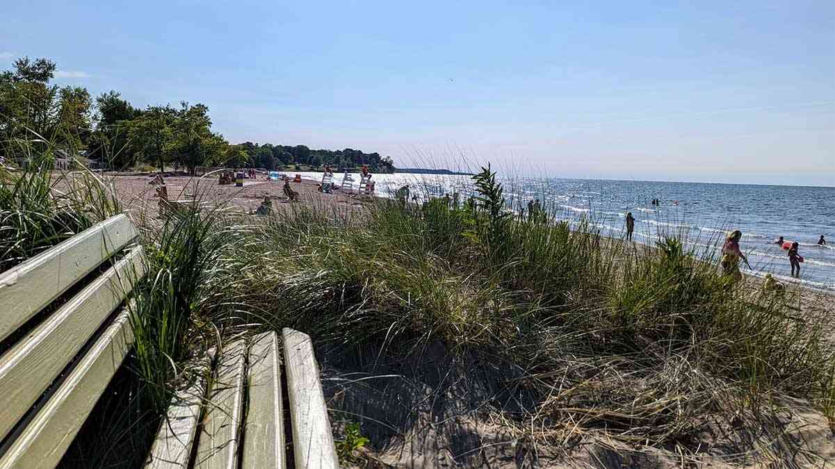
Explore The Lake Ontario Seaway Trail
Explore the Lake Ontario Seaway Trail along the southern shoreline, from Fort Niagara in Youngstown to Fort Ontario in Oswego.
Where is your favorite spot in the Braddock Bay area?
I’d love to hear from you—please reach out and share your thoughts and experiences.


Help Support My Work
If my work has helped you explore and appreciate the Rochester area, please consider subscribing to Substack as a paid member. You’ll receive an email whenever I publish new content and can connect with a growing community of local explorers.
See you out there!
Debi
Enjoy the Journey Together!


